

Introducing GuzmanGIS Robotics
We have started a project to build robots capable of automatically recognizing and picking up cigarette butt litter. The robot would then capture data on the location of the litter and transmit that data back to GuzmanGIS so that it can be analyzed and used to determine where the litter is worst. To see the most recent updates on our progress or to support our efforts, please take a look at our YouTube and Patreon.
About this Project
Guzman GIS strives to be 'the' environmental application. With a GIS program you can create and manage maps of any kind of data, but this has traditionally required users to run applications which only run on a computer and have a high learning curve. Guzman GIS is a browser-based GIS program so you can work on your files from anywhere, anytime, including from mobile devices. The UI is also easy to use so anybody can get started, even if they don't have GIS experience.
Learn How to Use GuzmanGIS
Need help learning how to use the platform? We have instructions that guide you through how to use each tool available to you.
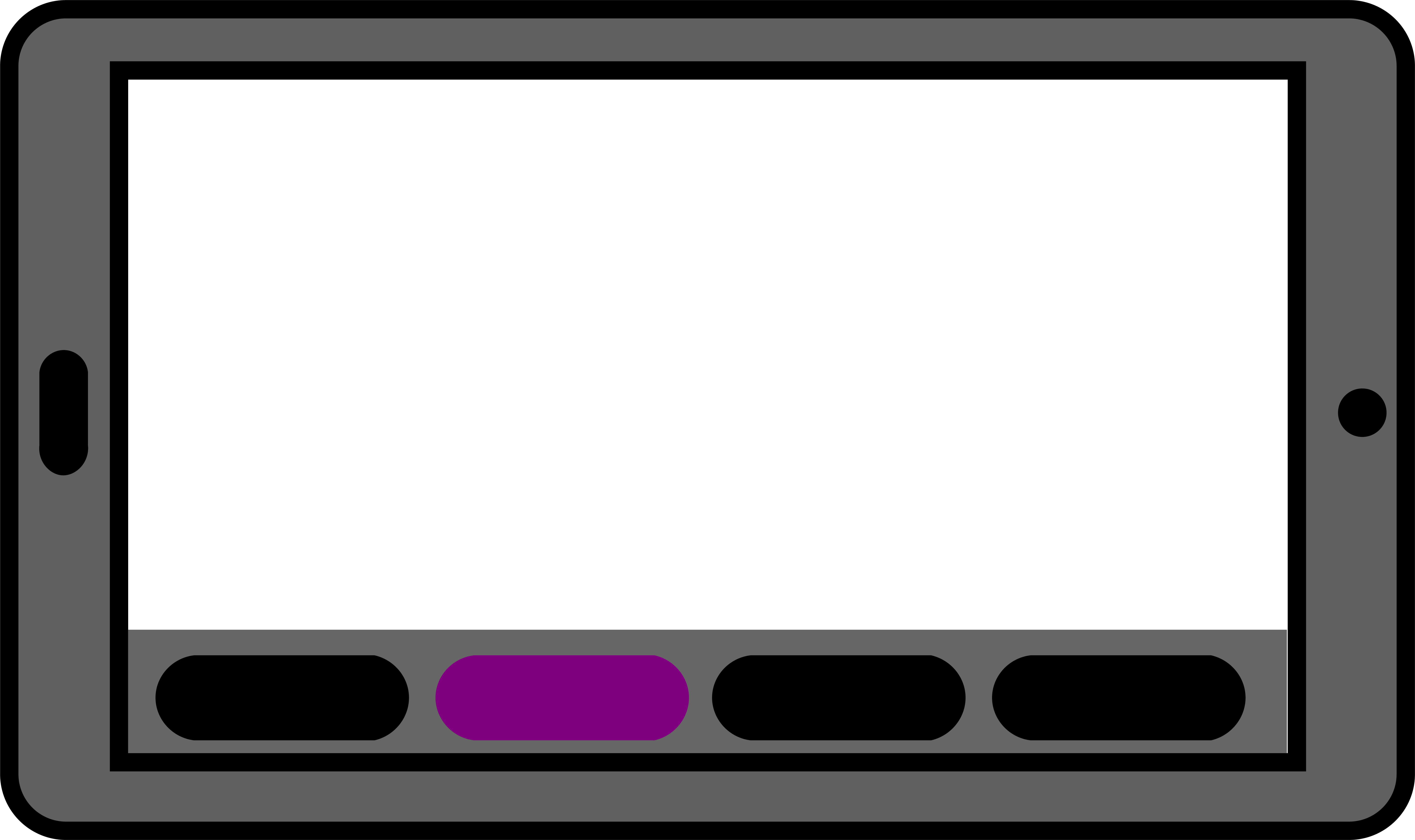
Lightweight

GuzmanGIS is lightweight enough to run on a browser.
Import and Export
Import and export your project file using standard GeoJSON and pick up where you left off.
Safeguard your Privacy
Store files locally to safeguard your privacy.
Simple UI
Our simple UI allows you to create projects simply.
Vision for the Future
We started this project with the goal of creating an accessible, lightweight GIS program that we could use ourselves for personal projects. With the launch of GuzmanGIS Robotics, we expanded that vision to integrate with devices in the real world that can be used to fight pollution.
Moving forwards, we want to expand even further, allowing control and integration with multiple robots at the same time — facilitating projects to fight pollution, global warming, or any environmental issue that could benefit from marrying GIS with robotics.
Updates from the blog
Open Source Library Announcement!
Jan. 11, 2024, noon by Arturo Guzman & Emily Segroves
The core GuzmanGIS app operates on a javascript library we wrote ourselves that provides the core data-handling functionality. The user interface is built on top of this core library. We are now proud to announce that we are making this core library available as an open source tool under the GNU General Public License v3.0
We also have detailed documentation to help you understand and use the library more easily. If you are interested, please take a look.
The open source library can be accessed here: https://github.com/GuzmanGIS/GuzmanGIS-Scripts